FIND Maps: mapping made easy

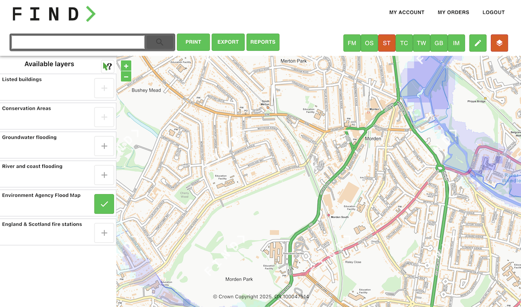
View, draw, print and download OS maps for any type of real estate transaction. Whether you’re an architect, a surveyor, an estate agent, a planner or anyone in between, Find Maps is the platform for you!

The FIND Maps platform has been designed to be Simple, Quick and Cost Effective.

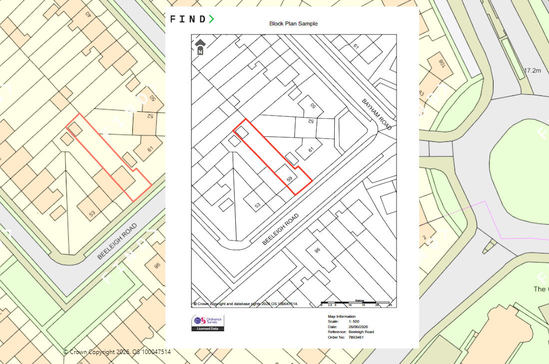
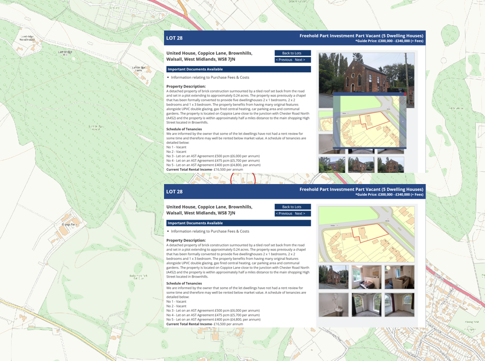
Download maps for planning applications, marketing brochures, property reports or first registrations in a range of different digital formats (.pdf or .jpg).

Export OS map data in CAD and GIS ready formats (.dxf, .dwg or .shp) for use within your preferred software.

Accurate property data, delivered instantly and efficiently to the highest standards.

Map prints and images from just £9.50 - why pay more!

Map of the UK

Maps & Data Portal

FIND Maps is a mapping and data portal, designed for professionals who require access to mapping data.

The simple, user-friendly platform provides instant access to maps and data from the UK’s most reputable sources including Ordnance Survey, British Geological Society and the Environment Agency.

Offering a range of supporting data overlays to view, query, print and download.

FIND Maps allows you to analyse and gain valuable insight into its location and any spatial constraints that might affect its value or potential use.

Sign up now
Find Maps portal screenshot

Do you need a Planning Map?

Planning Maps Made Simple

Get the exact map you need. Our Planning Maps service provides accurate, high-quality Ordnance Survey mapping for planning applications, property development, land assessments and more. Whether you’re an architect, surveyor, planner, developer or homeowner, we make accessing the right map fast, reliable and cost‑effective.

Professional planning maps from just £9.50 — exceptional value without compromising quality.

To learn more or use our planning map services contact us on 07904 673 778 or email support@findmaps.co.uk

Integrated Map Ordering with Maplet

Differentiate yourself from your competitors by using Maplet. A simple embedded solution, to generate maps as images, for property brochures and websites.

Home buyers want to know what they are purchasing and Maplet delivers that in a few simple steps. Show the HMLR title boundary on a detailed OS Map.

Download your map, straight into your CRM as an image file, just like a photo. Ideal for Estate Agents and Auctioneers to show off their listings and lots.

Contact us for a demo of Maplet to see how it could work for you.

Bespoke Solutions & Consultancy

With our extensive GIS and spatial expertise, we are familiar with solving problems and creating innovative solutions.

Need a bespoke mapping solution for your internal software or external website?

Plot locations, portfolio site analysis or bulk map data extraction, the FIND consultancy team is ready to take on any challenge.

Contact us today to see how we can help you!

Consultancy process

Explore ways to extract more value from your data.

Marine Charts & Data

MarineFIND is the specialist marine data and service division of FIND Maps.

By partnering with leading marine data suppliers and software providers, MarineFIND is able to provide our customers with cost effective data solutions.

To learn more about our marine data and services contact us on 07904 673 778 or email marinesupport@findmaps.co.uk

Our Data Suppliers

We work closely with a number of data suppliers

Clients